Wonders tourists spots full over Similipal However difficult to entry as all are situated in core area of Similipal.
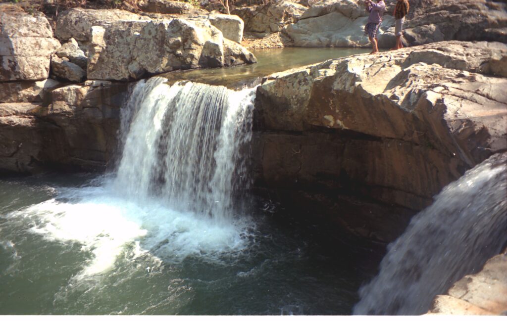
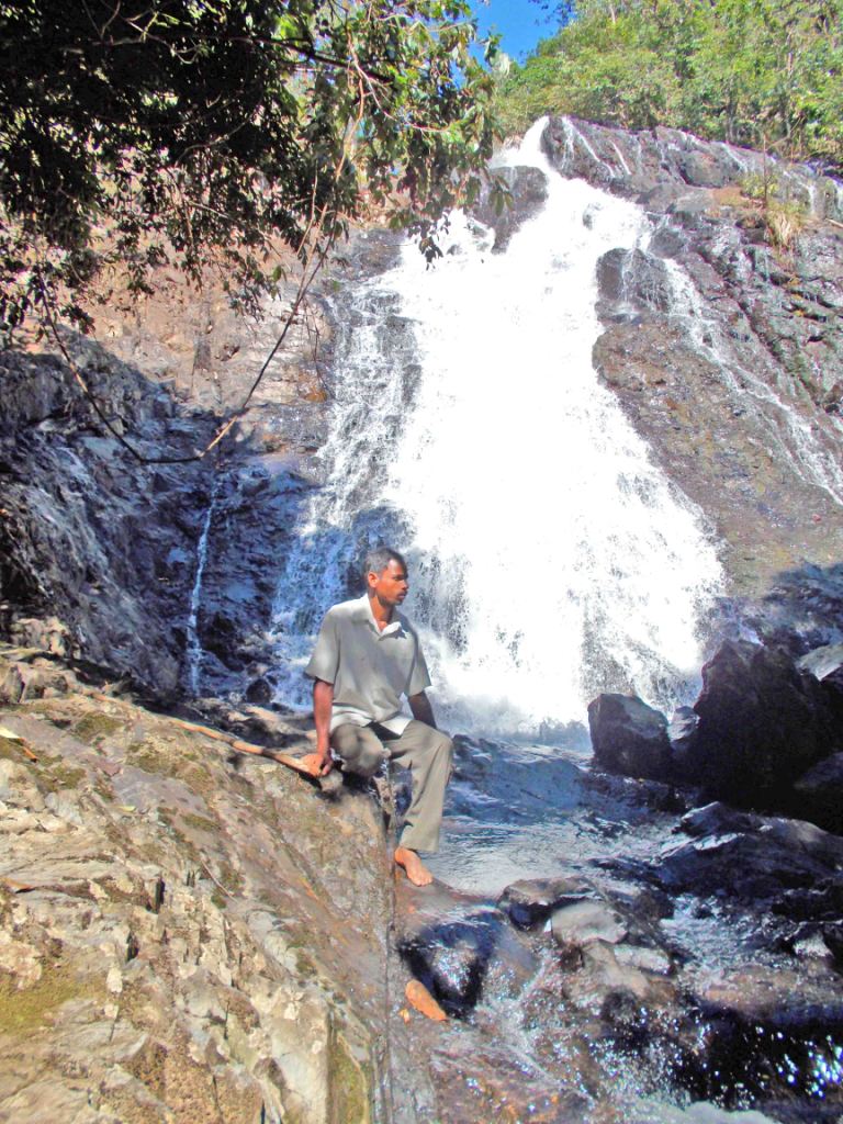
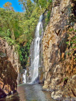
BADA MACHHA KANDNA WATERFALL
GPS LOCATION 21°52′46.6″N 86°30′48″E
Beautiful Bada Machha Kandna waterfall about 12KM from sitakund resort towards weast . The water fall situated in core area of Similipal. One can go by foot trekking about 1500 ft of high hill & taking 4 to 5 hrs of time. The Palapala river of Similipal flow from hight Tangi benta Ghati hill about 1500 feet high as a result create 4 nos of waterfall step by step. The 3rd waterfall not visible from top or bottom however the 4th waterfall vigible from bottom of the last waterfall.
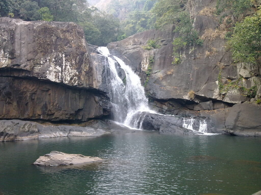
MACHHA KANDNA 2ND WATERFALL
GPS LOCATION 21°52′49″N 86°30′49″E
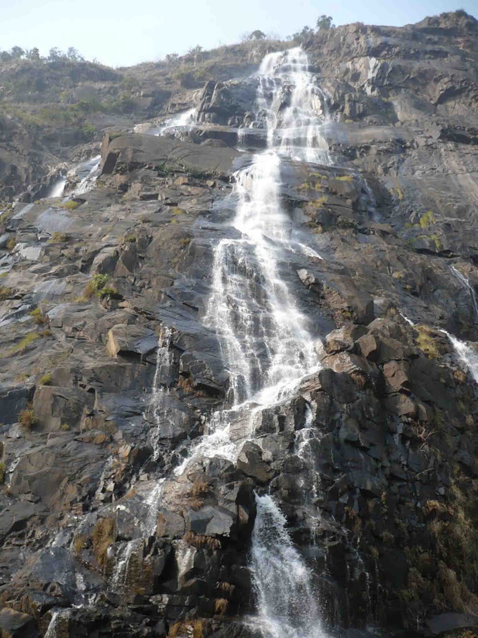
MACHHA KANDNA 4TH WATERFALL
GPS LOCATION 21°52′53.4″N 86°30′50.1″E
TULSI PINDA WATERFALL
NETRO DARAHA WATERFALL
BHAIRAB KACHA WATERFALL
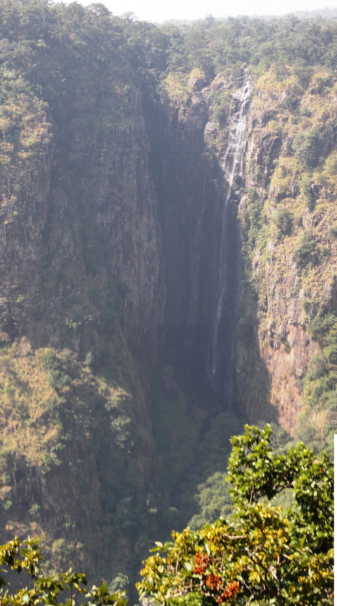
Most wonders of Similipal is VAIRABA KACHA WATERFALL .
Amazingly most wonder VAIRABA KACHA WATERFALL is the 2nd highest waterfall 780 feet height of Similipal. The water fall down into a enormous deep crater about 500 feet diameter. Neither one can go to the deep of crater nor can see the destination of water due to interior darkness and no sunlight reach to the bottom. As a result the aerial view or satellite map view show dark black of the crater.
LOCATION & DIRECTION
VAIRABA KACHA WATERFALL about 8 km from BARA DANGUA Village By walking elapse of time about 4 to 5 hours. Firstly proceed from Udla to CHAKRADHARA PUR about 15 km and finally from Chakradhara pur to Bara Dangua about 8km.
CHINGUDIA WATERFALL over KUSHABHADRA River of Similipal about 22 km from Monbhanga (PODA DIHA) Village additionally 5 km from Bhanja Basa Forest beat. Walking by foot takes about 5 to 6 hours.
BAGHIA DARAHA is another most not only wonder WATERFALL but also a beautiful waterfall inside core area of Similipal .The water fall at perpendicular to the pond.
LOCATION & DIRECTION
BAGHIA DARAHA WATERFALL inside Similipal about 8 km from KHAJURI Village. From KHAJURI it will take about 5 to 6 hours time by foot. Distance from GUDGUDIA TO Khajuri Forest beat about 10km
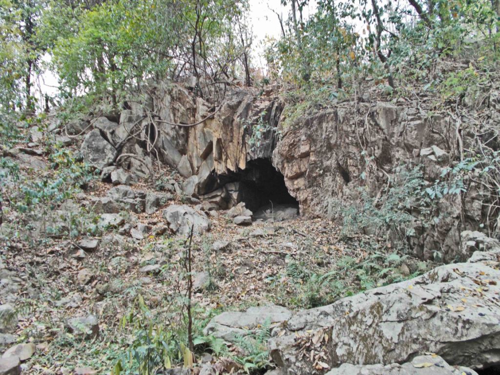
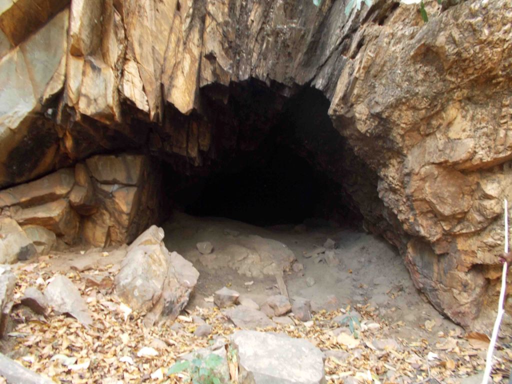
BEAT GHAR CAVE is also a wonder of Similipal National Park. The cave has a long tunnel naturally comprise of underground numerous small stones and rocks additionally the rocks impregnate with soil below the surface of earth
LOCATION & DIRECTION
It is a natural cave inside Similipal is about 4 km from Champagarh Forest Beat. From Champagarh walkable distance about 1 hr to Beat Ghar
DEBAS THALI SALT-LICK
GPS Location of Debasthali-21°42′12.2″N 86°16′07.8″E
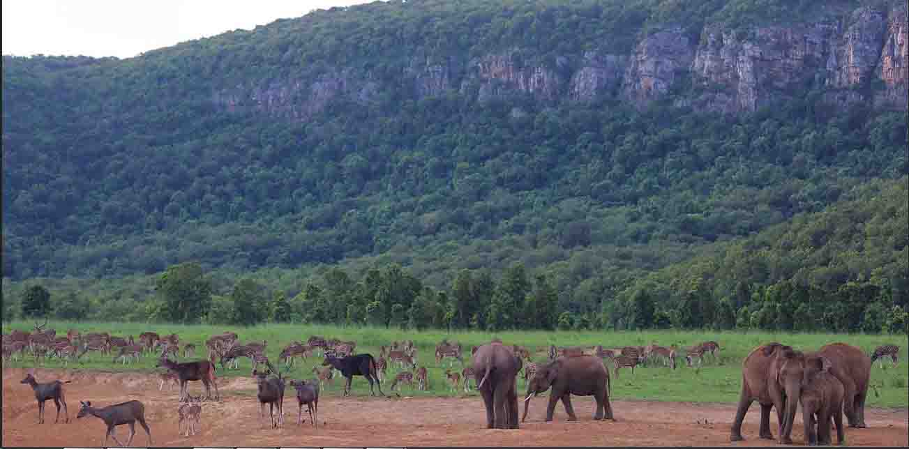
Deba-sthali is a another wonder place inside core area ofSimilipal National park . The soil of debasthali contain various minerals like Sodum, potassium, calcium, phosphorus . Hence wild animals like Elephants, Deers, Sambars, Bisons etc come to take soil which is known as Salt-lick. Every day hundereds of animals come here to consume soil of Debasthali.
Gurguria to Kabat-aghai – 12.km Kabat-ghai to Nuagaon – 15.km Nuagaon to Devasthali- – 5 km
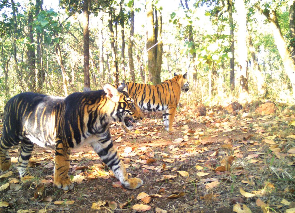
BLACK RBT at Deba Sthali
Dencity of Royal Bengal Tiger(RBT), Leopards & other carnivorus more at Debasthli than other places of Similipal. They donot cosume soil but as the thousands of herbivorus migrate here for consuming soil that which easier to hunt them. Another amazing fact very rare animal Black Royal Bengal Tiger one can also see here.
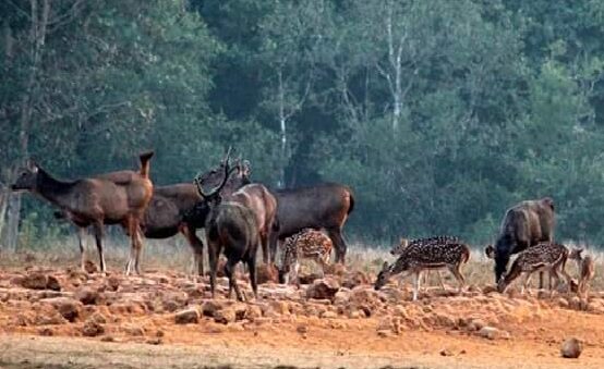
SAMBARS AND SPOTTED DEERS AT UPPER BARHA KAMUDA
GPS Location of UBK-21°39′04.1″N 86°18′08.1″E
Upper Braha Kamuda(UBK) is a another place in South Similipal in where also a salt-lick is present. Here also wild animals of Similipal come to intake soil.
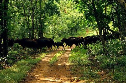
A Herd of Bison crossing road at UBK
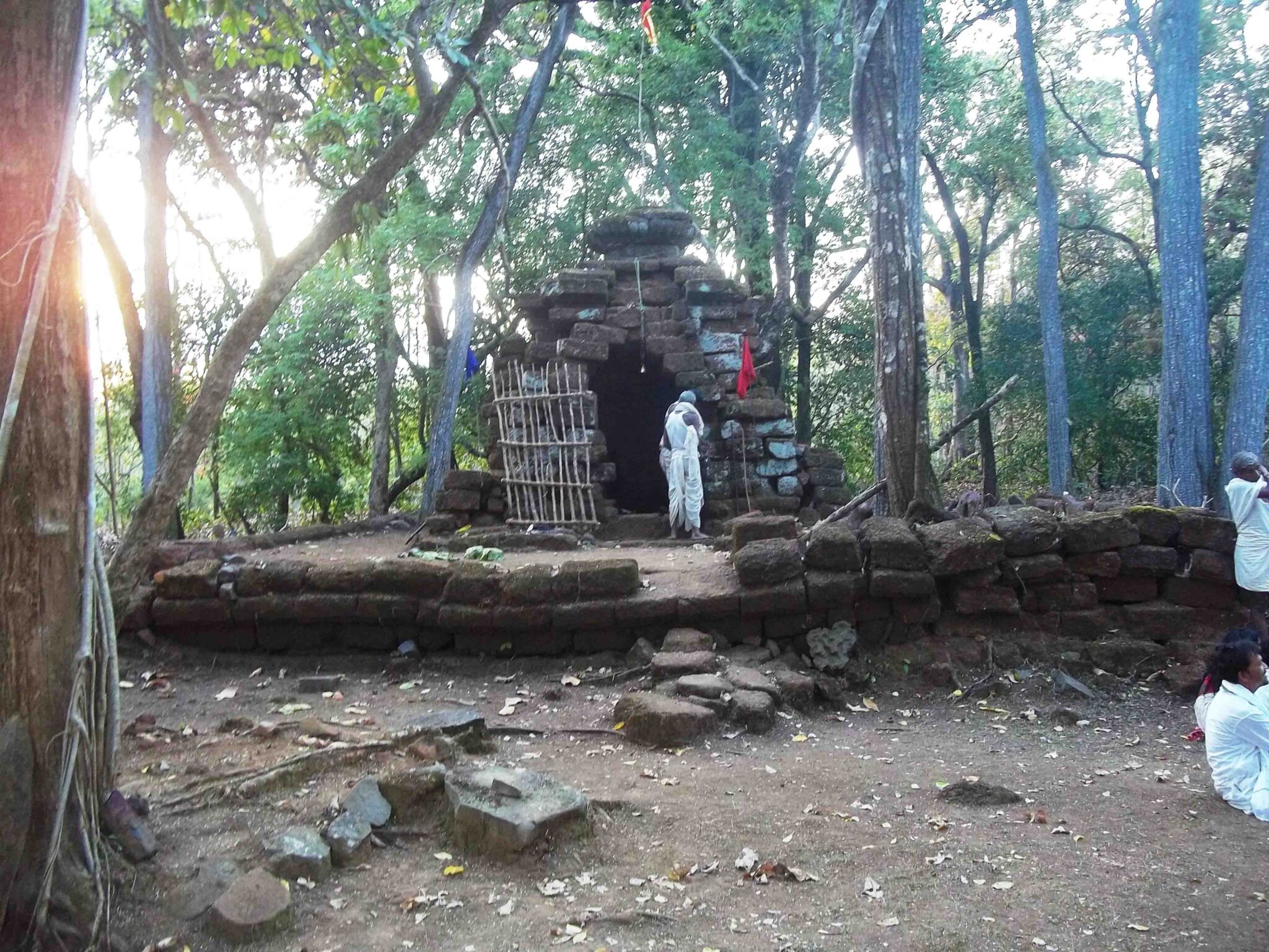
Atthara Deula Temple
GPS Location of Atthara Deula -21°50′05.4″N 86°20′20.1″E
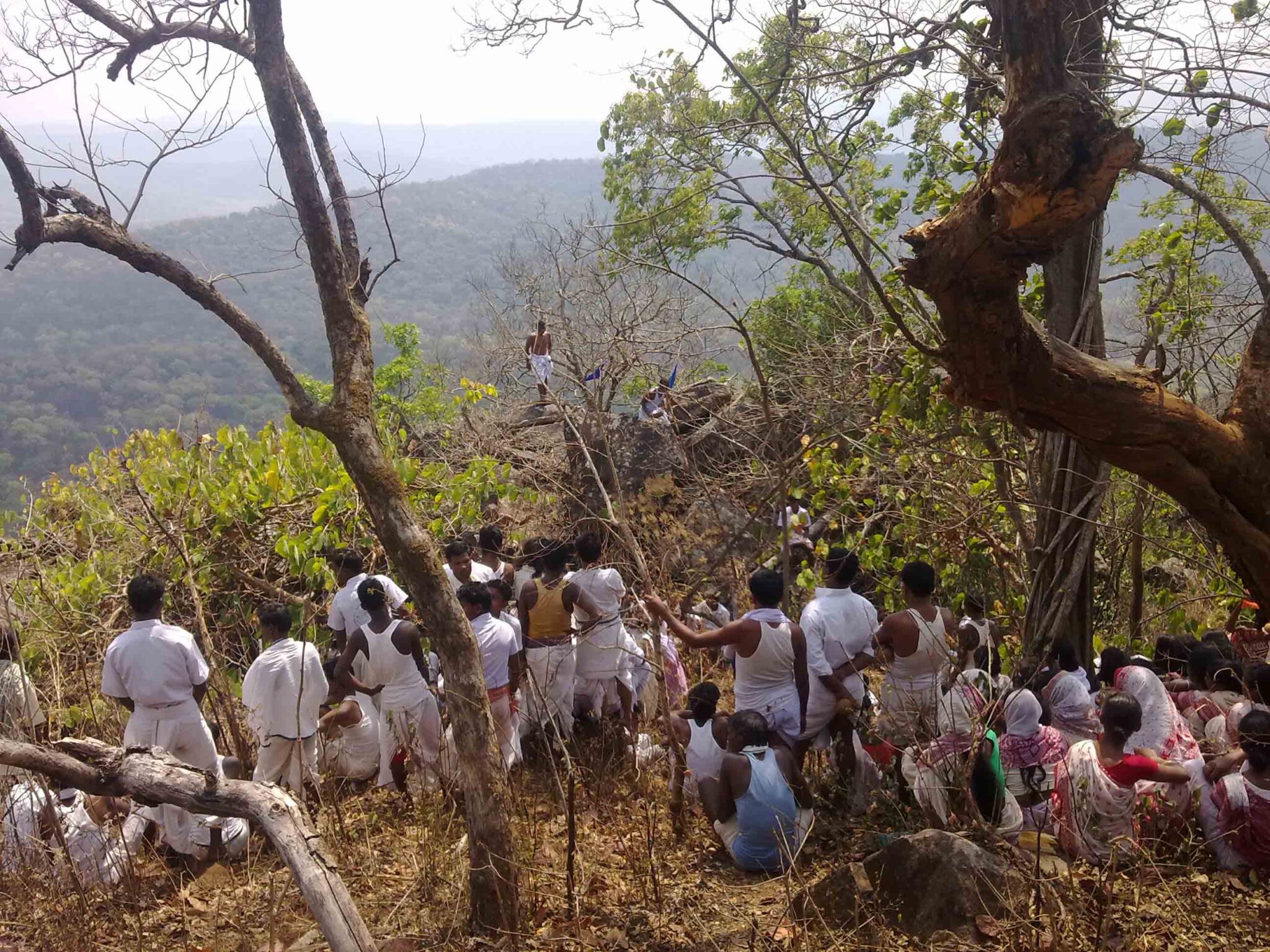
Atthara Deula Temple another wonder of Similipal is which is situated in the core area of Similipal. The temple had been made of only laterite stone and neither cement nor lime used for construction of temple. The Bathudi tribe of Mayurbhanj worship during the last month of March. Consequently during that time entry-permit relax some extent for worsip.
LOCATION & DIRECTION
Atthara deula Temples situated about 6KM from Bakua Foest Beat in the core area of Similipal. ATTHARA DEULA TEMPLE is a piligrim place of hindus inside Similipal core area. Lord BADAMA the (Balarama) the eldest brother of lord krishna worship there.
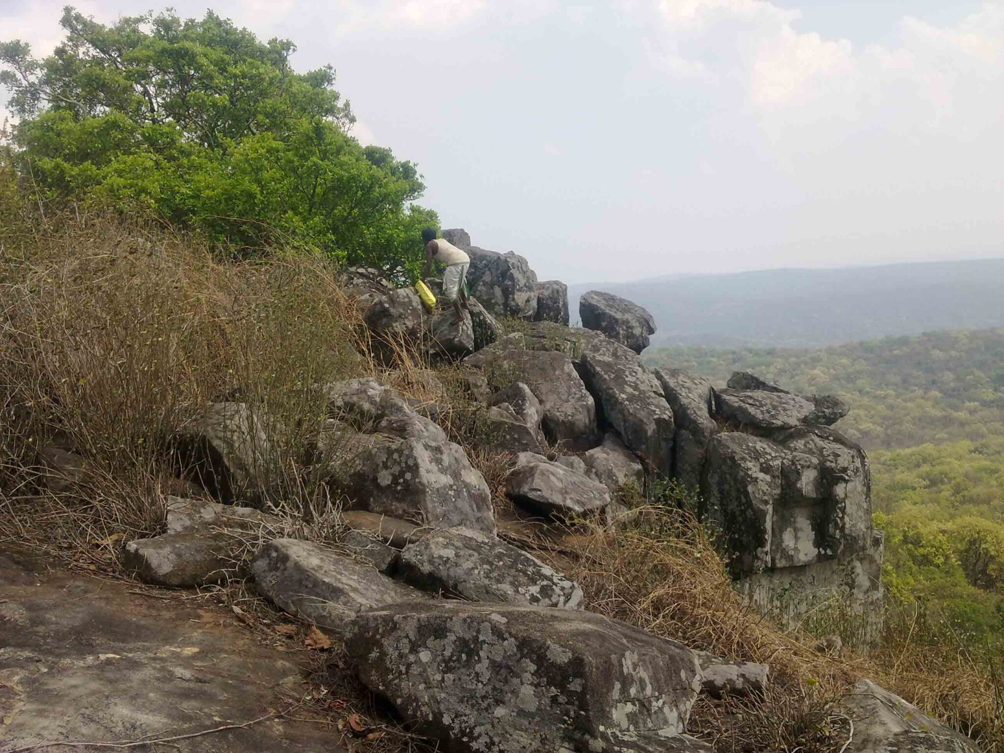
ISWAR DEULA HILL
GPS Location of Iswara Deula -21°50′30.3″N 86°20′09.8″E
ISWARA DEULA HILL is situated at about 4km distance from Atthara deula in side core area of Similipal National Park. Bathudi tribes of Mayurbhanj worship Loard Siva as a Iswara.
GPS Location ofLAXMI BHANDARA HILL 21°50′31.3″N 86°19′51.8″E
LAXMI BHANDARA CAVE& HILL
LAXMI BHANDARA HILL is situated at the north side of Atthara deula about 6 km distance in the core area of Similipal National Park. There is a natural deep cave inside the hill known as LAXMI BHANDARA. Every year the worshiper enter into the cave for worship with musical instrument like Changu, bell, Gong, Sankha, to driveout any suspicious wild animal pre-lived inside the cave.
Purtthi Malikani Hill
GPS Location of PRUTHI MALUNI HILL-21°39′08.7″N 86°29′01.9″E
PRUTHI- MALUNI HILL is inside Similipal near village Kunda Bai about 3km and from udala about 11 km
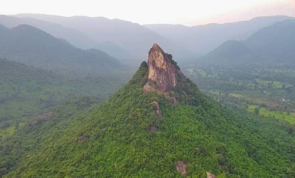
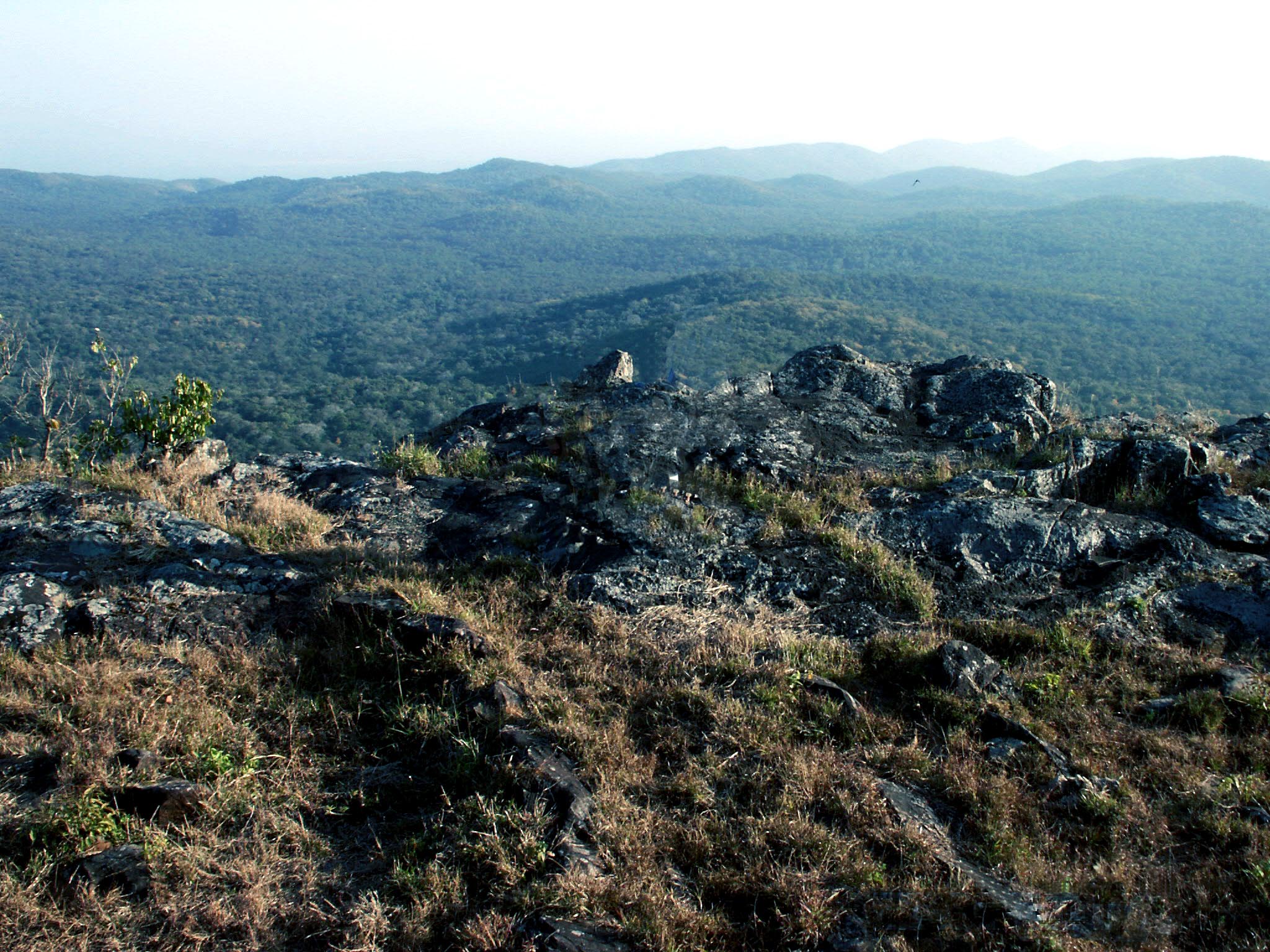
MEGHASANI HILL
GPS Location of Meghasani Hill-21°37′58.6″N 86°20′53.4″E
Among the twin peak mountain MEGHASANI(1158 METRES) and KHAIRI BURU(1178 Meters) hight above the sea level.